 Tweet
Tweet
Some guys at work, myself included, are planning a trip into Mayford on the 18th April.
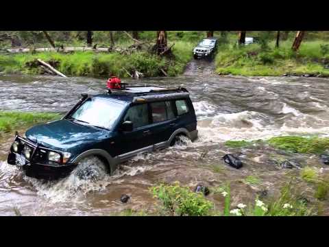
The last time the guys went in, the rivers rose 13 inches overnight, making for a most interesting time. (I couldn't make it, as I was otherwise engaged)
So our plan is to roughly follow (ish) the route from the Hema High Country Atlas, As shown in the attached.
There is talk about heading into the Buckland Valley after work on friday, then progressing up to Blue Rag then into Mayford on the Saturday. Finishing with an easy run out on the Sunday.
The invite sent out:
Mayford is a lovely spot, would like to see it dry this time�
I figure we meet up at Myrtleford no later than 8.30am then head over to Porepunkah and into the Buckland Valley where we can make our way up over Mt Selwyn to the Dargo High Plains Rd via Twin Jeep Track. We�ll follow this south for a little while before (time-dependant) detouring up to do the run up to the Blue Rag trig point. After that, return to the High Plains Rd and continue south to Kings Spur Track and head down to the Mayford town site to camp. Similar to Talbotville or Wonnangatta, just smaller and less visited. Kings Spur Track is likely to close at the start of May. Sunday morning probably track back the way we came in. Should only be an hour or so blacktop each way for the whole trip.
This should be a pretty straightforward trip, as always whatever recovery gear you have, bring it in. UHF radios are a very useful addition. There should be plenty of wood around so we can get a decent fire going-if you have a saw or axe, many hands etc� We�ll be in for some fairly mild weather during the day, at night it should be cool. Chuck a fishing rod in, we�ll be pretty close to the Upper Dargo River. Keep in mind too that if we get any decent rain just before or during the trip, we will have to have a rethink, I don�t think anyone really enjoyed the river crossings coming out in December last year�
Attached Files
Comment